Storms Cause Heavy Damage In Uniontown, Widespread Flooding Elsewhere
Follow KDKA-TV: Facebook | Twitter
PITTSBURGH (KDKA) -- Severe weather caused widespread flash flooding across the western Pennsylvania region Thursday night, as well as extensive damage in the Uniontown area of Fayette County.
The National Weather Service says they'll be out surveying the storm damage in Uniontown on Friday morning. They be investigating to determine what exactly came through the area.
We are aware of the extensive storm damage in the Uniontown, PA area from tonight's storm. We will be investigating this damage further tomorrow, but our primary focus the rest of tonight will be the heavy rainfall and current flooding ongoing.
— NWS Pittsburgh (@NWSPittsburgh) February 16, 2018
Along Gallatin Avenue, the destruction was widespread.
Siding from a nearby mobile home could be seen hanging from power lines, debris scattered everywhere, trees down and signs knocked over. Massive trees were snapped in half and blocking streets.
KDKA's Amy Wadas Reports:
"Couple hours ago, I was sitting in the house and it got very quiet, and it sounded like a train was coming through the house, and I looked out and straight ahead of me there was a huge cloud, so I'm thinking it was a tornado," said Uniontown resident Theresa Raffle. "It was very bad, everything was shaking."

The Uniontown Fire Department posted this message on Facebook: "We've experienced a major weather event in the city we are asking everybody to please stay off the roads keep them clear so that the road crews and everybody else can do their jobs."
Around 11 p.m., First Energy was reporting 3,478 customers in Fayette County without power due to the storms.
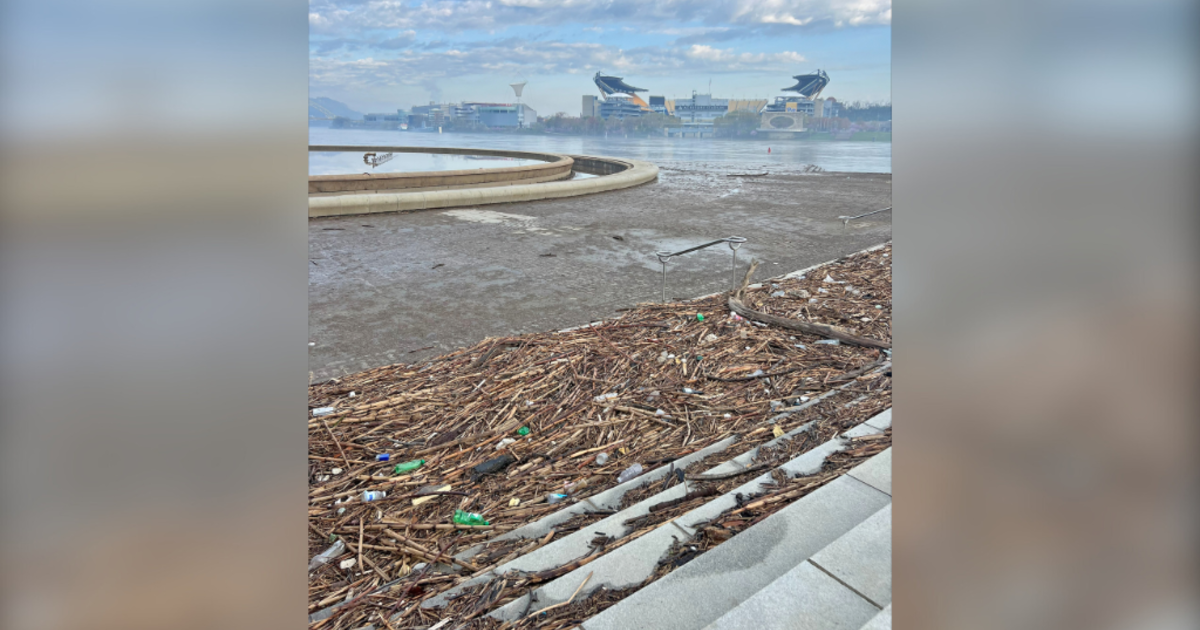
The damage wasn't just confined to Uniontown. The heavy rains caused severe flooding in other parts of the region.
WEATHER LINKS:
Current Conditions | Local Radar | Traffic Conditions | Delays & Closings | Weather App | Photos
In Allegheny County, the creek in Elizabeth Township spilled over its banks, briefly shutting down Happy Hollow Road.
For resident Ed Cherepko, the rain is eroding the bridge that carries his driveway across the creek.
"The water was probably two feet from on the road earlier. More rain? I don't know, I guess I'll just keep an eye on it," he said of the severe weather. "If I lose any more dirt, I'm going to have to get it fixed. And I don't know how I'm going do it. Big job, expensive."
KDKA's Paul Martino Reports:
Elsewhere, Baldwin Road in Pittsburgh's Hays neighborhood had pockets of flooding. The Mansfield Bridge in McKeesport had to be closed down. There was also high waters reported in Forward Township.
The Pittsburgh Public Safety Department said they had to bring down the flood gates along Washington Boulevard.
Drive Safely: Flood Gates are down. Washington Blvd. closed. pic.twitter.com/9wtRfb77Cx
— Pgh Public Safety (@PghPublicSafety) February 16, 2018
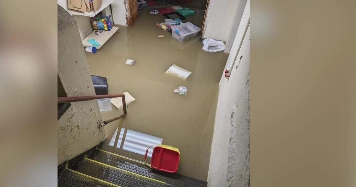
Over in Ross Township, there were reports of flooded basements.
"I've got the sewer backing up, and two houses up, he's got the sewer back up too. I've got like six or eight inches of water in there. I probably lost the water heater again," said neighbor Randy Fasenmyer. "It happened a month or so ago when we had two inches of rain. I was hoping it wasn't going to do this again."
#BREAKING: Homeowner along Rochester Rd in Ross talking about being flooded for the second time in a month. #KDKA pic.twitter.com/6KgVZNvoAw
— Ian Smith (@ismithKDKA) February 16, 2018
In Westmoreland County, the Rostraver Central Fire Department responded to multiple reports of flash flooding. One of the hardest hit areas was on Elks Place where they rescued eight people and two dogs from their homes.
Washington County residents also dealt with widespread flooding. A viewer sent this photo from West Chestnut Street in Washington:

The City of Washington Fire Department asked people to avoid the areas of Wylie and Jefferson Avenues, S. Main and Park Avenues, as well as West Maiden Street and W. Wheeling at Washington Streets due to flooding.
There were also multiple flooding reports in Charleroi, Speers and other nearby areas. Officials warned residents to avoid those areas.
The Flood Warning will remain in effect overnight. KDKA Chief Meteorologist Jeff Verszyla says the rain will vary in intensity during the early morning hours.
"The southern part of the warning is set to expire at 1:15 a.m., the northern part set to expire at 2:30 a.m. That's assuming that they aren't extended with more rain coming that could potentially re-aggravate any flash flooding concerns," said KDKA Chief Meteorologist Jeff Verszyla.
Meanwhile, the Flood Watch remains in effect for the entire region until early [Friday] afternoon.
"Between 7 and 9 a.m. is when the rain showers will be ending across the area," he said. "Clouds will linger at 11 a.m. Temperatures don't go up [Friday], they start to get progressively colder, and by 3 o'clock in the afternoon, we'll be in the mid-30s and may see a little bit of late-day sunshine."
Temperatures will be seasonal heading into the weekend and turn mild towards the end.