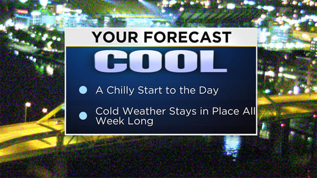
Pittsburgh Weather: Chilly Air Remains In Place All Week, Snow Possible For Some Areas
PITTSBURGH (KDKA) -- Model data has a weak cool front trying to move into our area on Tuesday. Ahead of the front, we may see a line of showers developing.
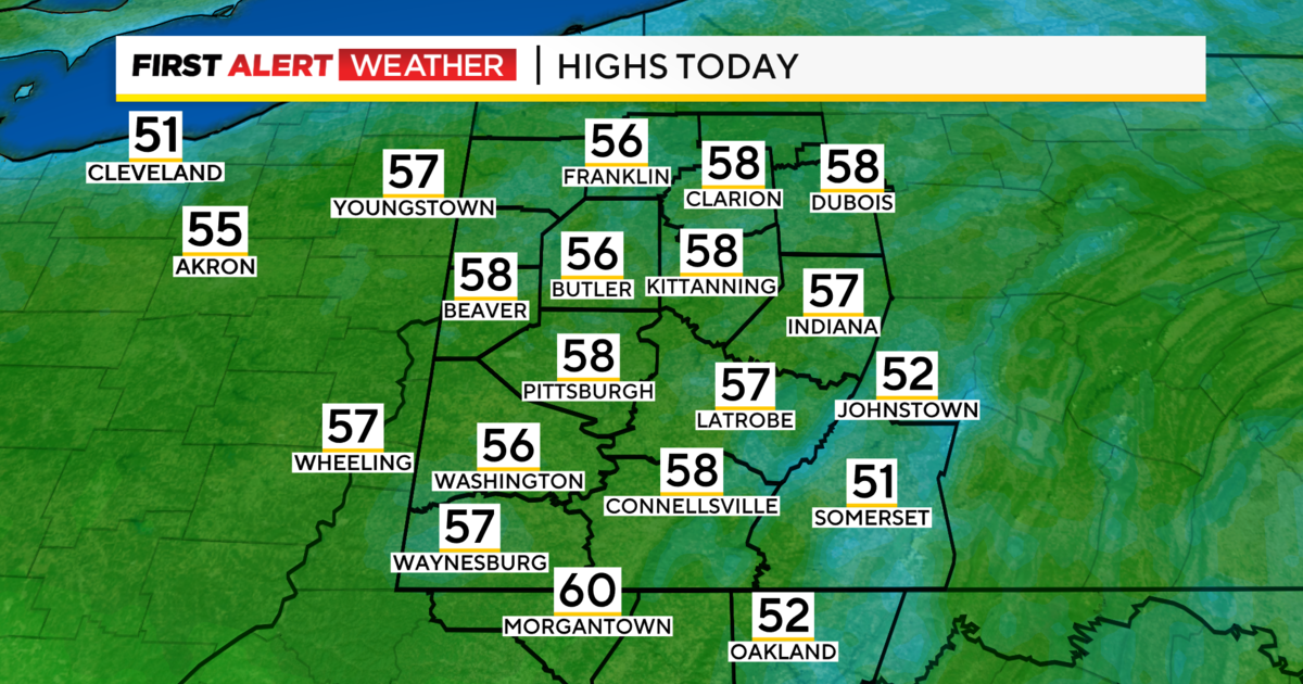
Rain chances would start as soon as about 5 p.m. tonight for places along I-80, including Lawrence and Mercer counties.
The line of showers will slowly work their way to the southeast overnight. Then, around 4 a.m. Tuesday, the rain will be moving through Allegheny, Beaver and Butler counties.
While the cool front will slide through with just rain showers, Lake Effect Snow showers will be possible late Monday as winds come in out of the west northwest. These snow showers won't impact anyone south of I-80.
WEATHER LINKS:
Current Conditions | School Delays & Closings | Local Radar | Weather App | Photos
KDKA Meteorologist Ron Smiley is maintaining a small chance for snow in elevated areas even though model data is not picking up on it at the moment.
Heading into next weekend, temperatures turn cold with highs on Friday and Sunday likely not hitting the 40 degree mark.
Saturday's high won't be much warmer with a high of 42 expected.
Stay up to date with the KDKA app, which you can download here.