Pittsburgh Weather: Severe Thunderstorm Watch Issued With Strong Afternoon Storms Possible
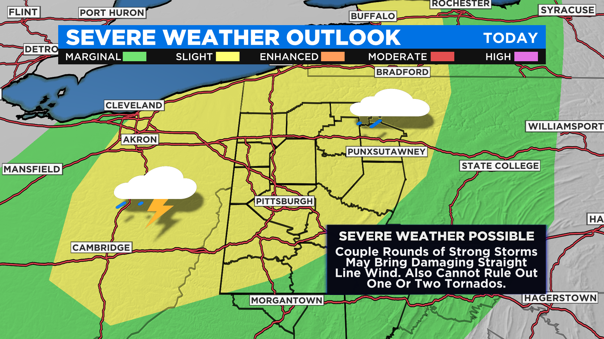
PITTSBURGH (KDKA) - Strong storms will be possible this afternoon as a mid-level shortwave moves through the area.
At this point, the main concern comes in the way of destructive straight-line wind. While the chance is small, tornadoes also cannot be ruled out.
WEATHER LINKS:
Current Conditions | School Delays & Closings | Local Radar | Weather App | Photos
The NWS issued a Severe Thunderstorm Watch for much of our area, including Allegheny, Butler, Clarion, Mercer, Westmoreland, Armstrong, Greene, Lawrence, Beaver, Fayette, Indiana, Somerset and Washington counties. This is in effect until 9 p.m.
A Severe Thunderstorm Warning is also in place for southeastern Butler, northeastern Allegheny, northwestern Westmoreland and southwestern Armstrong counties until 4:15 p.m.
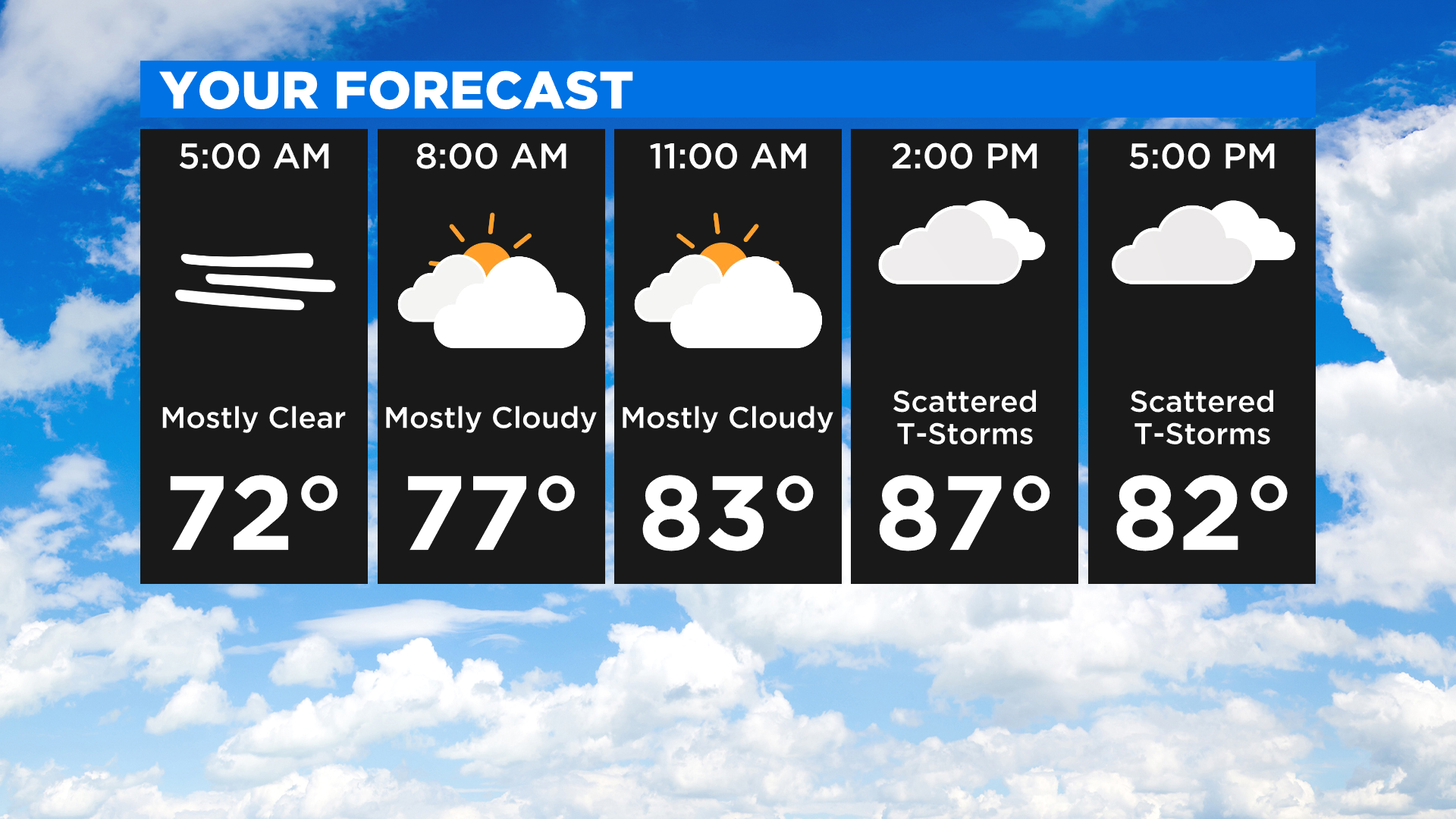
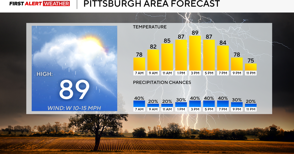
The window for storms is between 1:00 p.m.-7:00 p.m. This is the time when severe weather is most likely to occur.
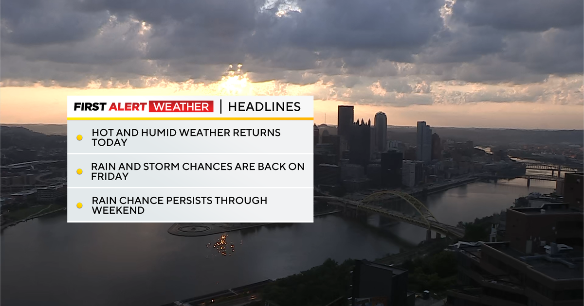
Storms also could last through midnight. Rain showers will continue into Friday afternoon.

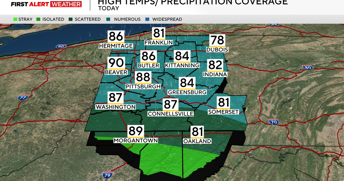
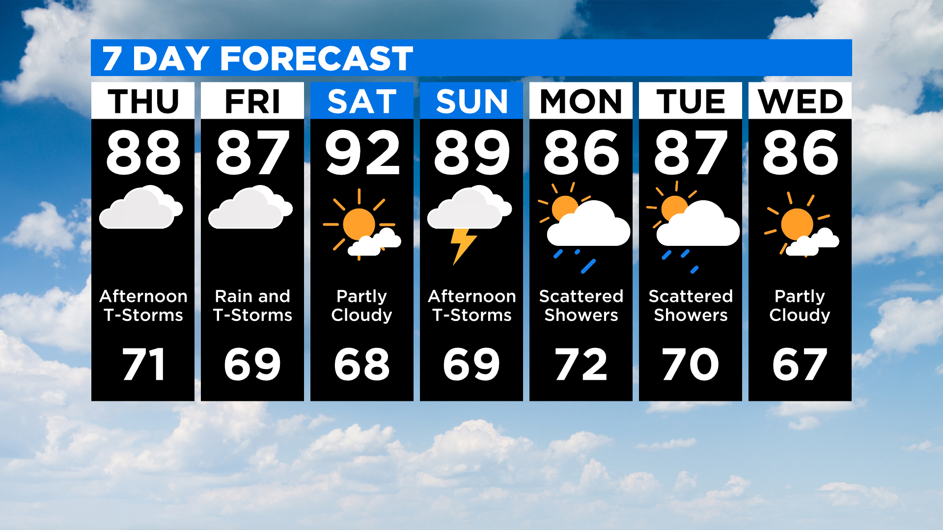
The high on Thursday will likely be short of the 90-degree mark, hitting 88 degrees once again.
There will be a brief cooldown on Friday with highs in the mid-80s.
The hottest day of the week will likely come on Saturday, with the potential for a high temperature of 92 degrees with dry conditions.
Most of Sunday will be dry but late-day afternoon to evening storms may spawn a couple of stronger storms.
Sunday's highs will be near 90 degrees.
Stay up to date with the KDKA app, which you can download here.