Pittsburgh Weather: Winter Weather Advisory, Winter Storm Watch Issued With Freezing Drizzle, Inches Of Snow Forecasted
PITTSBURGH (KDKA) - With the possibility of freezing drizzle and freezing fog in the forecast, a Winter Weather Advisory has been issued for much of the Pittsburgh area.
It's in effect until 4 a.m. Sunday and covers Beaver, Allegheny, Armstrong, Indiana, Greene, Fayette, Westmoreland and Washington counties in our area.
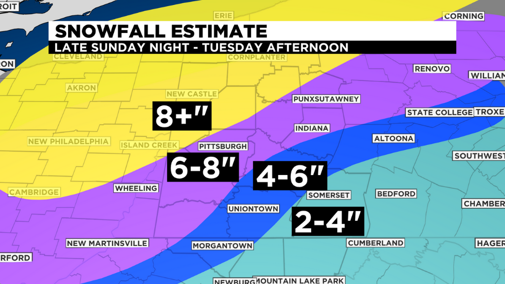
NWS Pittsburgh has also issued a Winter Storm Watch for parts of our area on Monday and Tuesday, and they're forecasting up to a foot of snow. KDKA Meteorologist Kristin Emery's snowfall estimates top out at 8+ inches north of Pittsburgh.
The Winter Storm Watch goes into effect Monday at 1 a.m. and lasts until Tuesday at 1 p.m. In our area, it's impacting Mercer, Lawrence, Butler, Beaver, Allegheny, Armstrong and Washington counties.
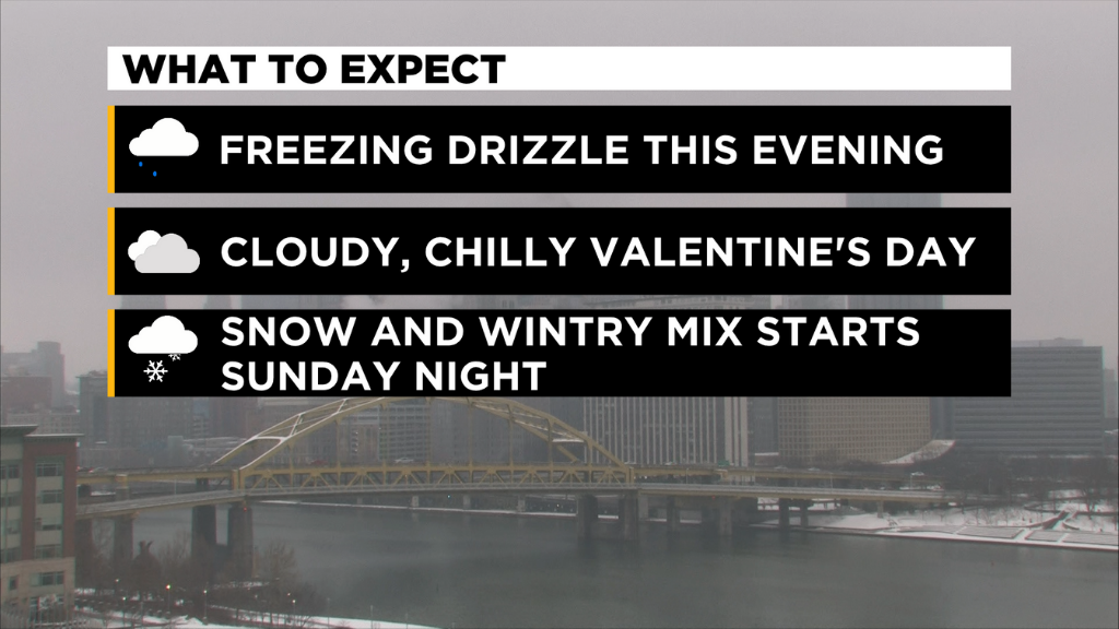
Some patchy freezing drizzle, freezing fog and snow showers/flurries are possible in spots Sunday night which could leave some slick roadways, bridges and overpasses tonight and tomorrow morning.
Otherwise, it's the calm before the storm. A fairly quiet Saturday night and Valentine's Day is on the way with clouds and chilly temperatures persisting.
The trouble arrives late Sunday night and lasts through Tuesday afternoon. Very cold high pressure in the upper plains states will interact with a lot of moisture that right now is out over the western half of the U.S.
As it dives down south, it will then head our way and bring rain, wintry mix and ice to the mid-Atlantic to our south and snow for us and areas north.
The question remains: how far north will that warmer air push and where will the changeover line be from rain/freezing rain/sleet to just plain old now?
WEATHER LINKS:
Current Conditions | School Delays & Closings | Local Radar | Weather App | Photos
Heavy snow and high totals are possible and looking more likely from Pittsburgh north and west, especially Monday night through Tuesday.
Right now, it looks like a couple of inches of snow early Monday through lunch and then the second, heavy push of moisture starting Monday night into Tuesday.
Stay up to date with the KDKA app, which you can download here.