Pittsburgh Weather: First Significant Snow Chances Move In This Week
PITTSBURGH (KDKA) - Let's talk about Thursday evening's potential snow!
The forecast for tomorrow is not a slam dunk, but then again when is it ever in Pittsburgh?
WEATHER LINKS:
Current Conditions | School Delays & Closings | Local Radar | Weather App | Photos
At this point, it looks like you should expect to see around an inch of snow region-wide.
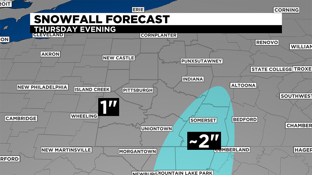
There will be places in the Laurel Highlands where snow totals will top two inches.
While not a lot, this is the first significant chance for snow we have seen so far this season in Pittsburgh and most of the region. Up until now, we have seen only 1.8" of snow for the season, and just 0.3" since Dec 1.
Last year at this point we had already recorded 28.3" of snow. The normal value of snow up until now is 11.9".
Clearly, it has been a slow start.
The last time we saw this little snow recorded at the airport was 2015-2016 when we had recorded just 1.3" of snow.
Currently, this is the fifth slowest start to the season on record at the Pittsburgh airport. Records stretch back more than 70 years.
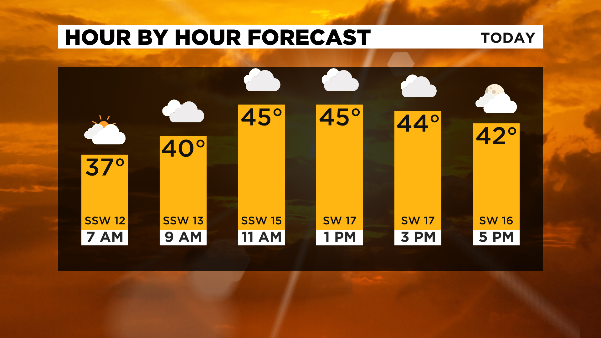
While today won't see any measurable snow, it will still be a fairly active weather day with highs hitting the mid-40s, winds gusting to more than 30mph and a small chance for a sprinkle of light snow for places south of I-80.
Stay up to date with the KDKA app, which you can download here.