Pittsburgh Weather: Area's First Snowstorm Expected To Arrive Tonight
PITTSBURGH (KDKA) - Here's the latest on tonight's snow:
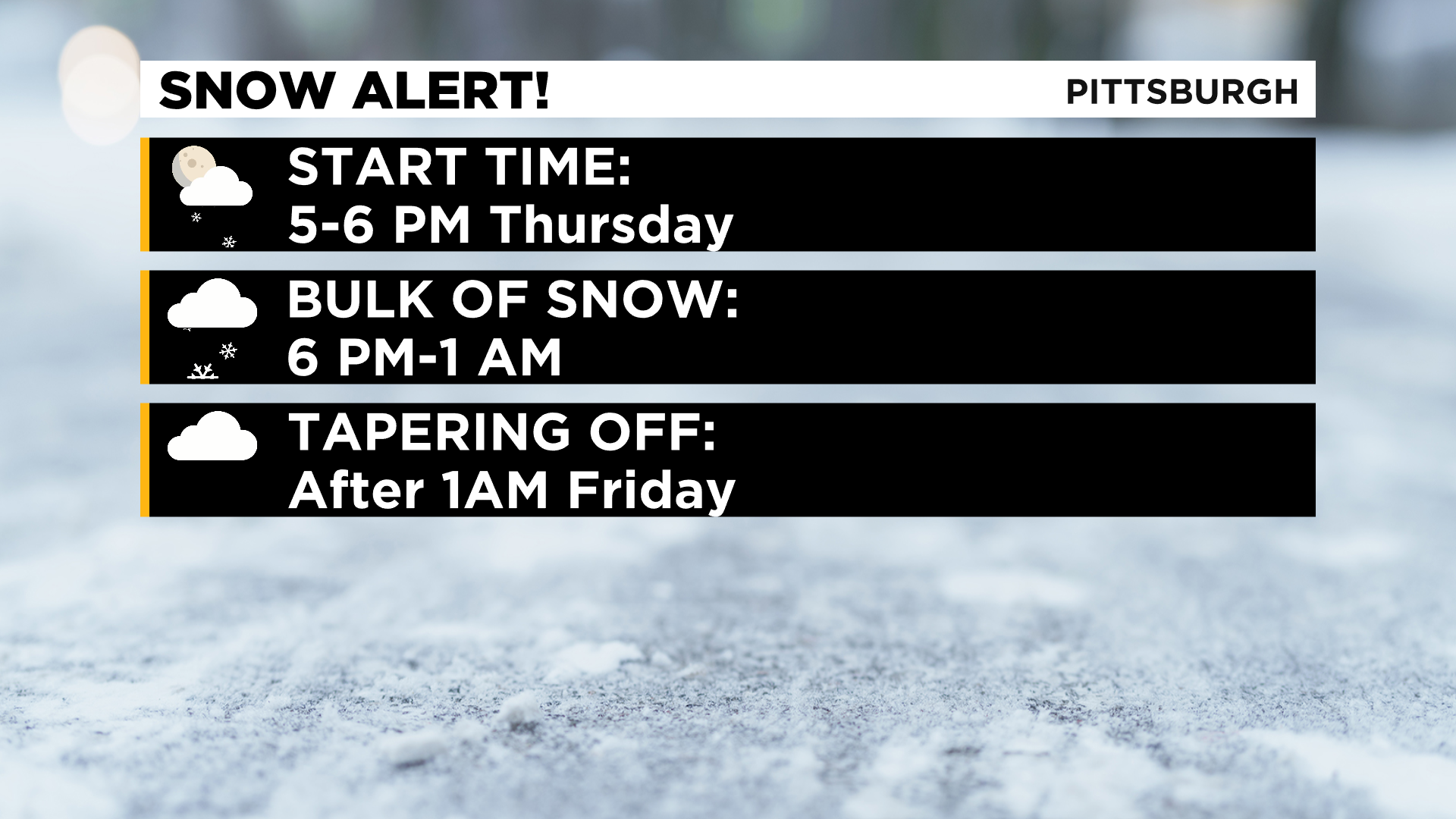
Arrival: 5:00-6:00 p.m. north of I-70.
Timing: Heaviest of snow moves through from 6:00 p.m. to 1:00 a.m. Friday.
Totals: Around 2" for Pittsburgh, totals of 2-4" for Westmoreland County, highest totals south of I-70
Impact: Slick roads from 7:00 p.m.- 5:00 a.m.
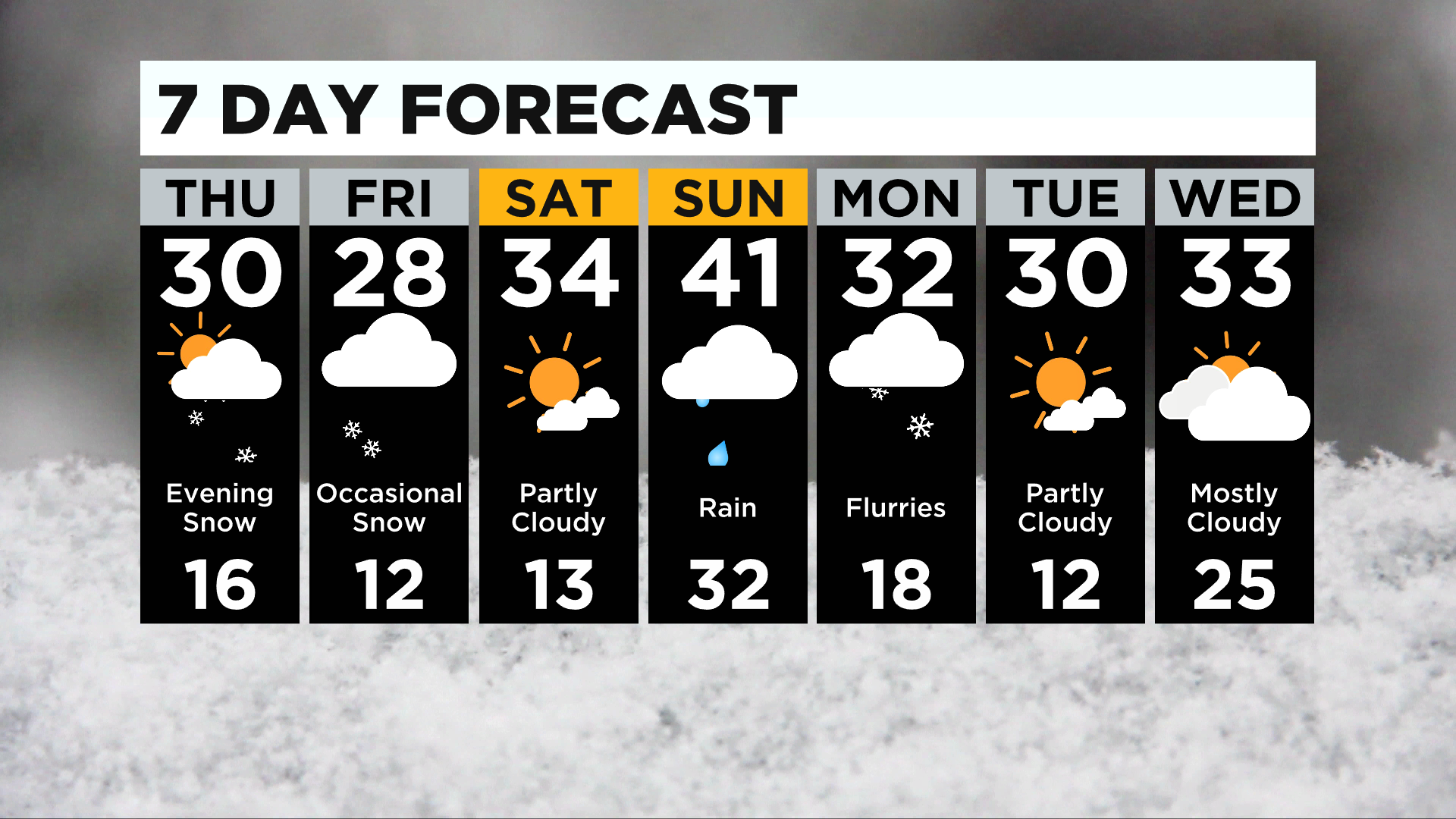
The area's first winter storm system is expected to arrive tonight bringing with it the first accumulating snow of the year for many.
WEATHER LINKS:
Current Conditions | School Delays & Closings | Local Radar | Weather App | Photos
In Pittsburgh, most should see around 2" of snow.
Larger totals are expected for places south and east of Pittsburgh. Westmoreland County will see area-wide totals of around 3" with higher totals the farther east you go.
The highest totals overall will likely occur in the ridges of Fayette county with more than 6" of snow expected in the area highlighted as having a winter storm warning.
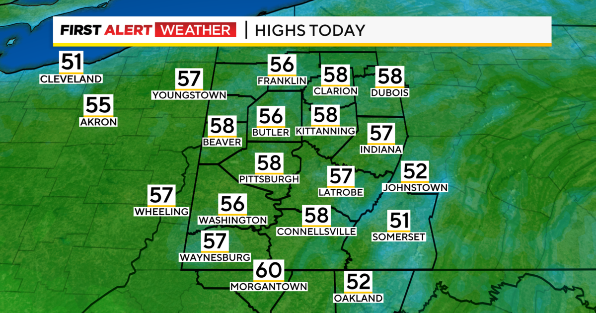
The other big story today is the return of the cold with highs today at just around 30 degrees.
Most of the afternoon will be near that 30-degree mark.
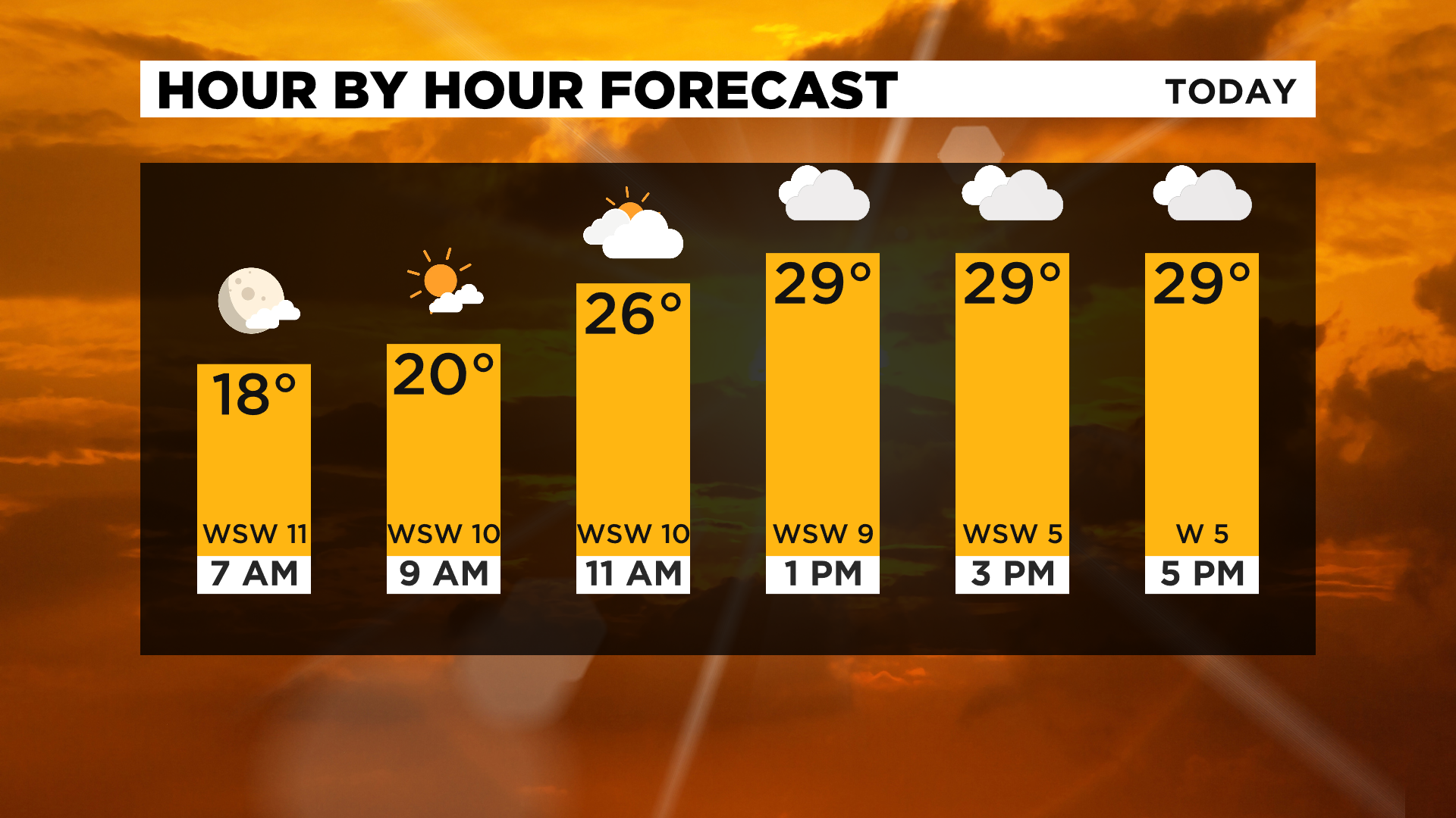
Morning temperatures have dipped into the teens for most places with mostly clear skies.
Clouds arrive for the afternoon and again snow chances are here just after sunset at 5:09.
Stay up to date with the KDKA app, which you can download here.