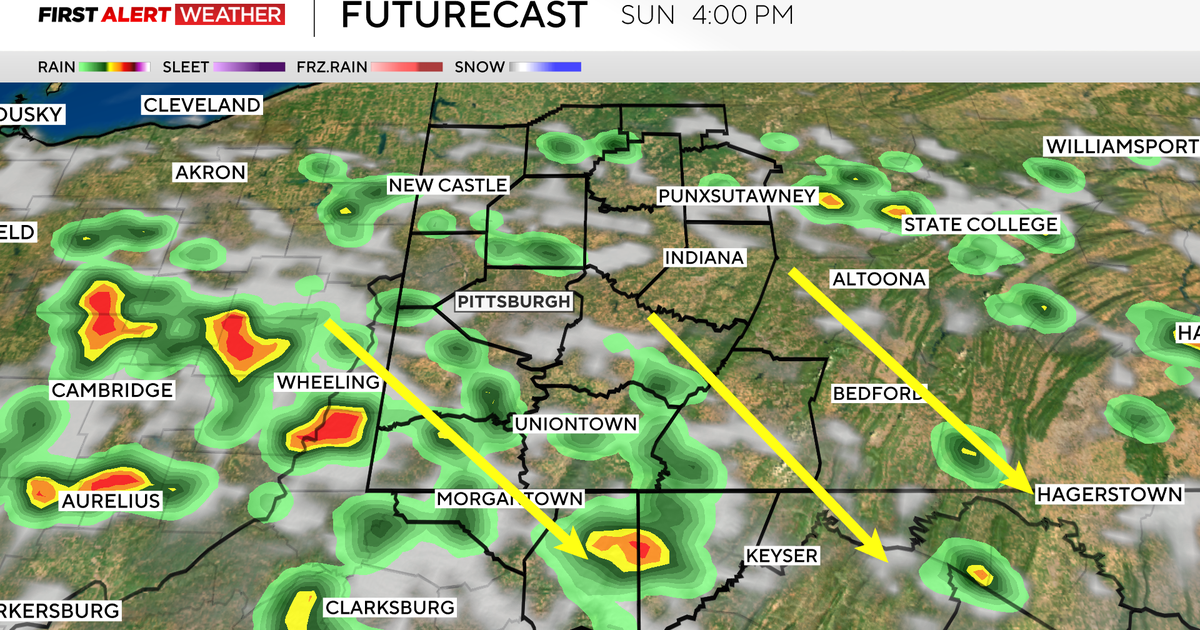
Strong Storms Closing In On Western Pa.
PITTSBURGH (KDKA) – A strong line of thunderstorms will move into the Pittsburgh area Monday afternoon.
According to the National Weather Service, the line of storms is expected to arrive in Pittsburgh between 3 p.m. and 5 p.m.
Gusty and damaging straight-line winds, heavy downpours, hail and even a tornado are possible.
As of 6 a.m., the line of storms was moving through Michigan and western Ohio.
According to KDKA-TV Meteorologist Dennis Bowman, a low pressure front up north that stretches into the Ohio Valley is pushing the storms our way.
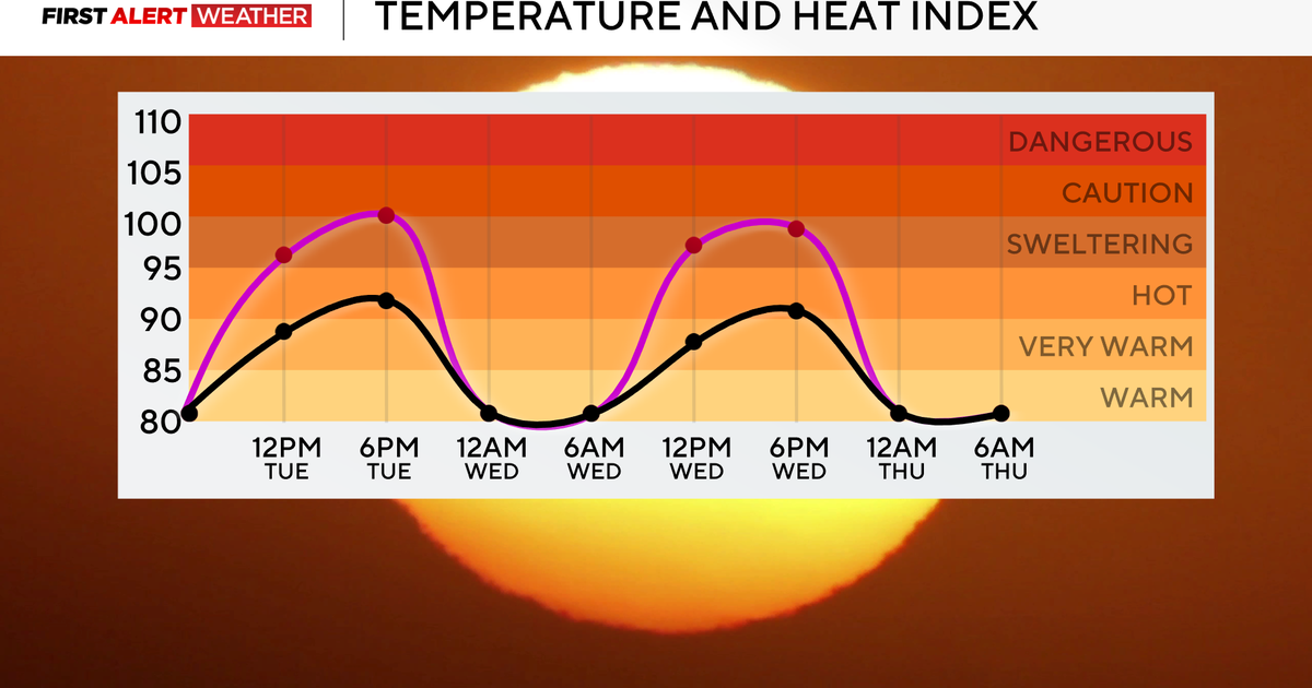
Sunday's high of 82 tied a record set back in 1978, but much cooler air will be moving in, which will trigger Monday's storm activity.
Today's high will be 76 degrees with an overnight low of 45.
Lightning is associated with this line of storms and Bowman has some tips to help keep you safe:
- Stay away from windows
- Do not use a telephone with a cord
- Do not shower or bathe
- Avoid any contact with metal pipes
RELATED LINKS
Local Radar
Traffic Cams
WeatherBug
National Weather Service